• underground utilities

SERVICES

Utility Location and Mapping

Planning prior to excavation can reduce costs and delays as well as avoid the hazards of buried infrastructure. Utilizing GPR technology, and Electro-Magnetic (EM) methods Below The Surface Locating can provide an evaluation of a site prior to excavation or beginning new utility installation. This evaluation will locate buried utilities or other underground obstacles, such as bedrock, debris or old foundations. Below The Surface Locating, LLC specializes in finding both metallic and non-metallic utilities including PVC, plastic, and concrete pipes as well as conduits that cannot be detected by any other means. GPR can not only detect a variety of materials, but also identify multiple closely-spaced utilities.

Utility Location and Mapping

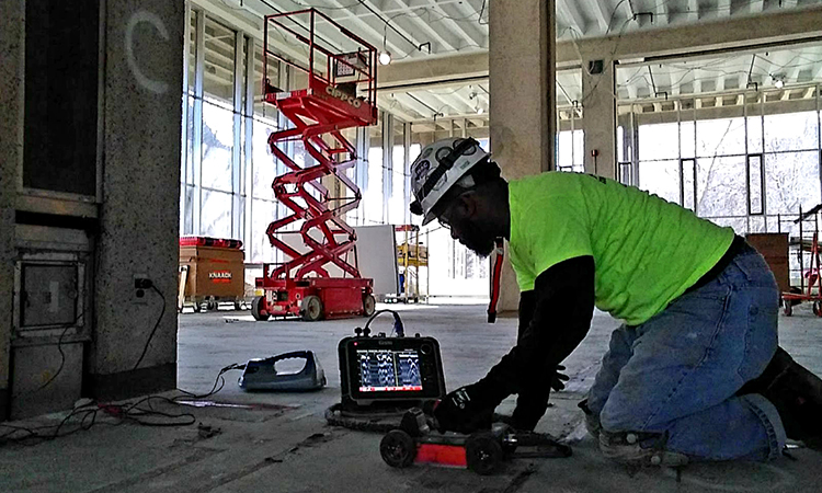
Ground Penetrating Radar (Concrete Scanning)

Below The Surface, LLC state-of-the-art concrete inspection GPR data acquisition system allows us to image an area in real time requiring only one side access and without evacuation. By using a full array of antennas, our GPR system can penetrate a depth range of 18 inches or more in concrete without damaging the surface. Data collected is processed quickly and easily. The results produce a 3-D image for a more intuitive approach to data analysis and interpretation. Multiple viewing options allow the user to move around in the data, many times revealing features not visible in traditional vertical data profiles.

Ground Penetrating Radar

Electro-Magnetic Locating

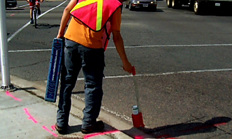
Locating underground utilities is an art and a science. At Below The Surface Locating, LLC we use the latest technology in utility locating to make sure our clients are confident and safe excavating, or project planning. We perform our utility locates using Electro-Magnetic technology to locate and trace underground electric, gas, communication, and water lines. If you need to know the location of sewer piping, our state-of-the-art ground penetrating radar can be used to find it.

Electro-Magnetic Locating

Land Survey

Below The Surface Locating takes pride in working with builders, architects, and engineers to produce very precise descriptions (maps and surveys) of the earth’s surface features and its underground obstructions. Our professionals handle a wide range of tasks such as construction staking, topographic mapping/design and boundary surveying.

Land Survey